
The biennale GIS-day was a succes
On 28 November 2023, Aarhus University hosted a full-day GIS seminar at Moesgaard Museum in Aarhus. The event drew more than 80 participants into an exploration of the capabilities and potential of Geographic Information Systems (GIS).

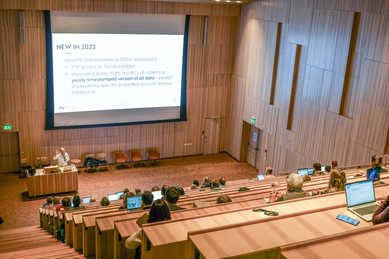
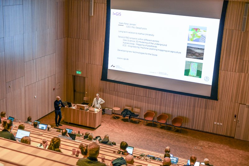
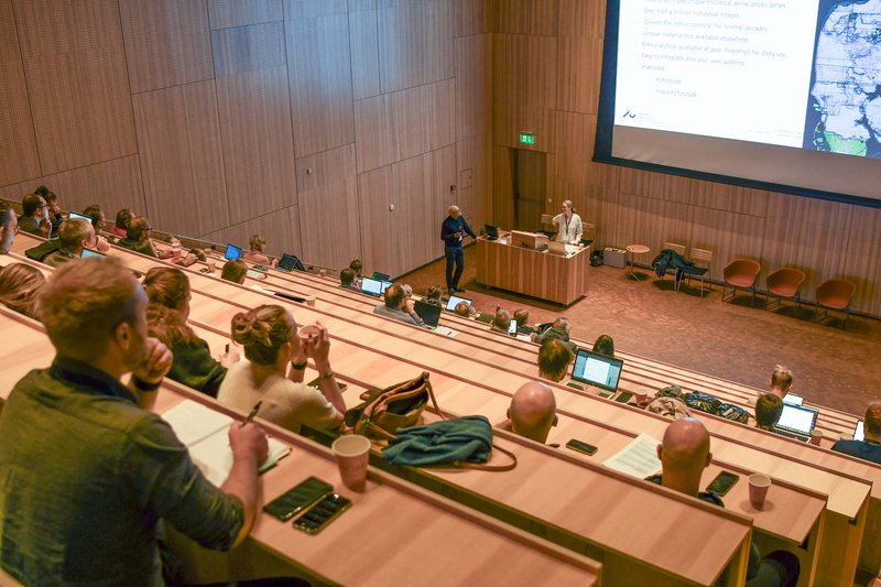

For several years, GIS Day has been an event for researchers at Aarhus University. However, for the first time, the seminar was this year open to interested individuals from other organizations and companies. The participants represented a diverse mix of researchers and interested individuals with vastly different backgrounds. They came to acquire the latest knowledge about GIS and to draw inspiration from other researchers on how they've utilized geographic information systems in their research, ranging from historical mapping to cutting-edge ecological studies.
Delving into history
Throughout the day, speakers took the participants on a journey through the historical landscape, microbiology, pesticide use, air pollution, biodiversity, and a myriad of other topics. Highlights from the presentations showcase the breadth of participants' experiences in their exploration of GIS usage at Aarhus University:
- Using historical maps, Jens Bjørn-Riis Andersen from the Department of Culture and Society demonstrated how they've explored the geohydrological functions of the landscape before industrialization.
- Adéla Sobotkova from the Department of Culture and Society shared insights into her use of GIS in mapping the accessibility of civilian shelters in Aarhus during the Cold War.
- Laura Helena Nissin from the Aarhus Institute of Advanced Studies shed light on historical experiences through sight and smell in Pompeii using GIS-based methods.
- Andreas Kjær Dideriksen from the Department of Biology discussed the development of a student satellite for exploring Arctic climate research.
- Nele Lohrum from the Department of Agroecology provided a glimpse into agricultural history using statistics and maps of Danish agriculture in the 19th century.
Overall, the participants covered extensive ground and gathered a wealth of inspiration. No one left without gaining a better understanding of the myriad of opportunities GIS offers, as well as insight into the vast scope of geographic information systems and their crucial role in understanding the various facets of our world.
See you again in 2025
GIS Day is held every two years and, if it follows the same pattern, it will be again on the last Tuesday of November. Keep an eye out for the invitation in late summer 2025.