Main subject area: micro-CT imagery, electromagnetic induction, proximal sensing, image analysis
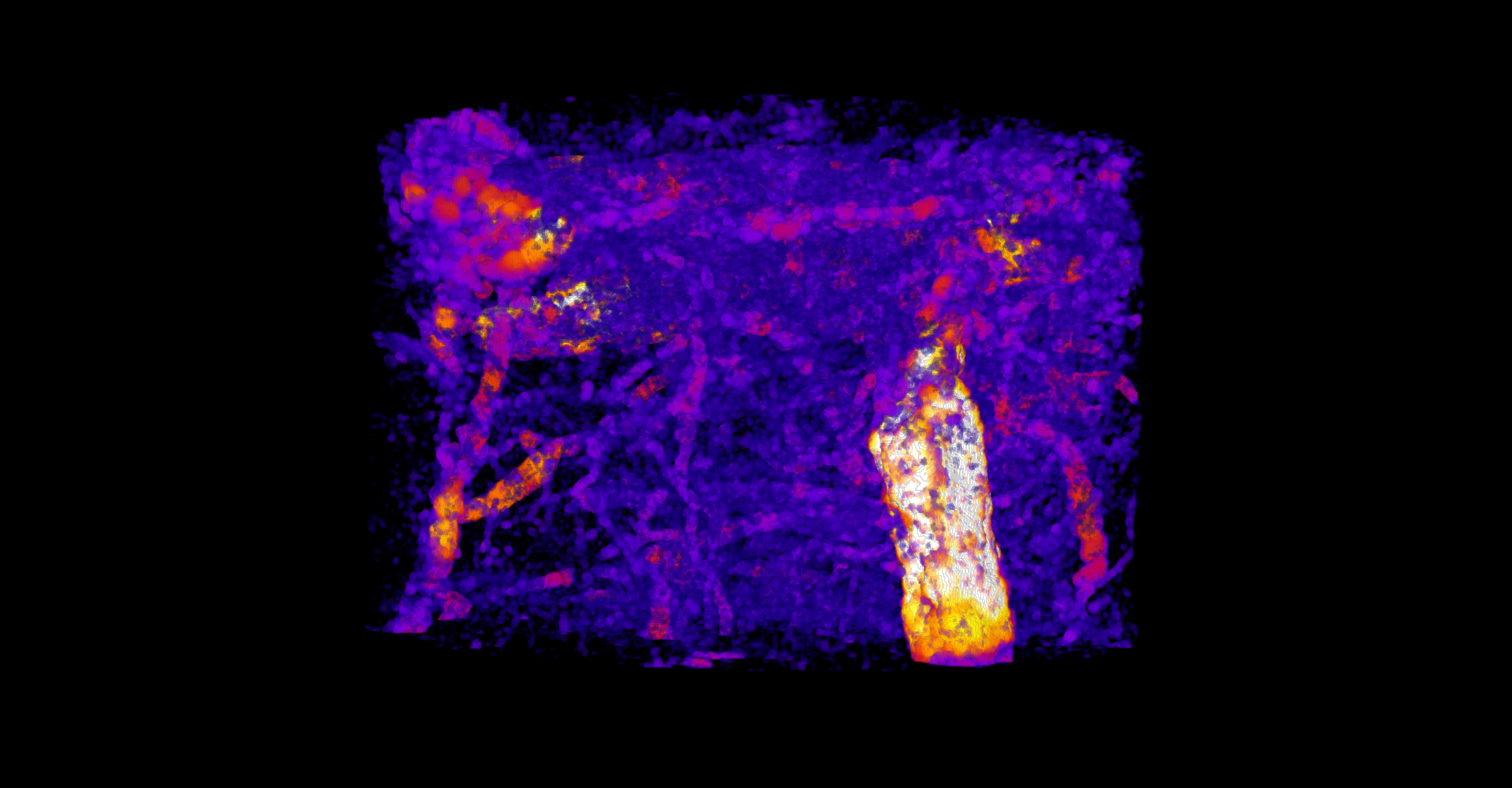
Soil physical properties help us to assess the health and quality of soils. However, the field-scale mapping of these properties is still challenging. An experiment was conducted on a winter wheat field in Foulum in 2024, where georeferenced and undisturbed topsoil samples were scanned with micro-computed tomography (micro-CT) to create images of the soil pore structure. These images can be analyzed for soil physical properties, which gives us information beyond the classical soil analysis. In addition, the soil surface of the field was scanned with electromagnetic induction (EMI) which measures the soil apparent electrical conductivity (ECa). ECa was previously used to create maps for soil texture, soil moisture, and organic matter.
In this master thesis we go further: use field-scale EMI scanning to map soil physical properties from micro-CT imagery. The student will process soil micro-CT images, calculate the soil physical parameters, and develop predictive models to estimate and map on field-scale.
Is field work part of the topic (yes/no)?
No
Is lab work part of the topic (yes/no)?
No
Is coding part of the thesis topic (yes/no)?
Yes
The project can start upon availability of the student
AU Viborg, Foulum
45 ECTS (Agrobiology): Experimental theses in which the student is responsible for collection and analysis of his/her own original data
60 ECTS (Agrobiology): Experimental theses in which the student is responsible for planning, trial design and collection and analysis of his/her own original data
Khatkar, A., et al. (2025). "Mapping basic properties of Danish sandy soils using on-the-go proximal sensors and terrain attributes." Geoderma Regional 42: e00981.
Pulido-Moncada, M., et al. (2024). "Soil pore network effects on the fate of nitrous oxide as influenced by soil compaction, depth and water potential." Soil Biology & Biochemistry 197.


