Keywords: Computer-vision algorithms, geostatistics, machine learning
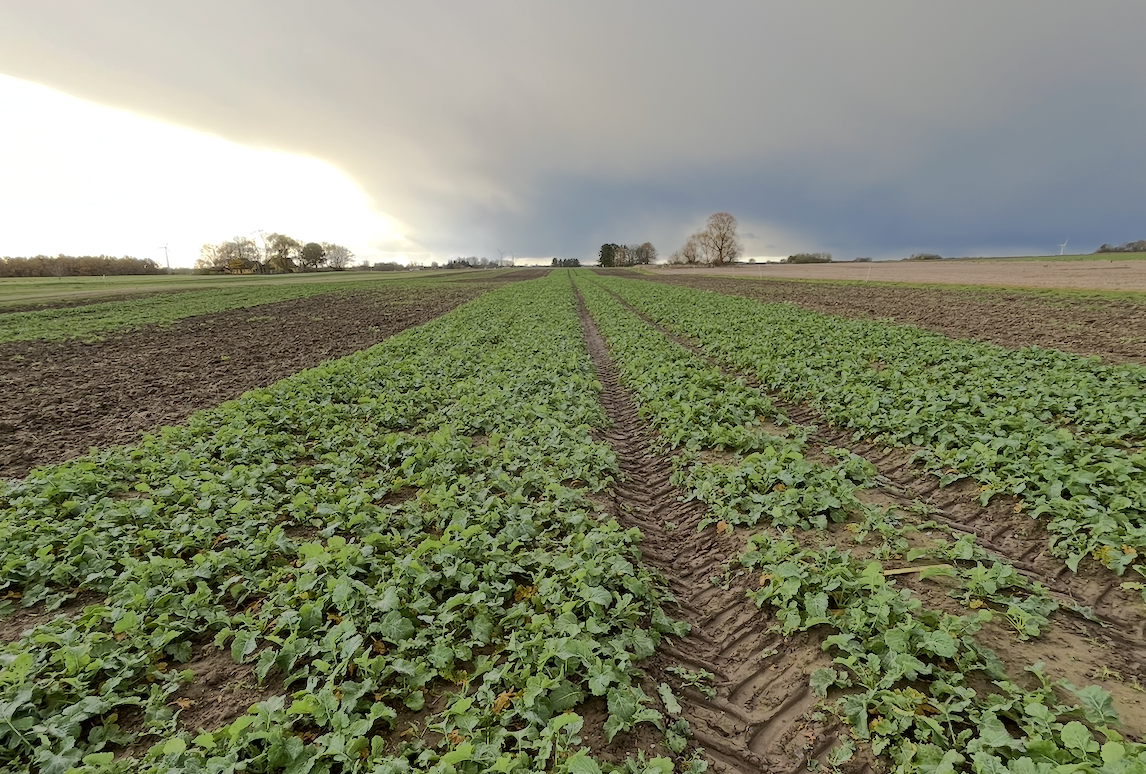
Weed and disease mapping is a crucial first step toward smart, site-specific management such as spot-spraying. Using land-based sensing robots equipped with high-resolution RGB cameras, computer vision can detect and quantify weeds and disease symptoms to produce detailed field maps. However, decision-making depends not only on map accuracy but also on uncertainty: unreliable predictions can trigger incorrect actions, including unnecessary treatments or chemical over-application. In this project, we will develop robust mapping workflows that combine geostatistics and machine-learning models to generate both predictions and spatial uncertainty estimates. The student will collect multi-season field data with sensing robots, manage and preprocess imagery and ground-truth observations, and implement modelling pipelines in R and Python. The outcome will be actionable maps that support safer, more efficient weed and pest/disease control.
Any time
AU Flakkebjerg, 4200 Slagelse
45 ECTS (Agrobiology): Experimental theses in which the student is responsible for collection and analysis of his/her own original data
60 ECTS (Agrobiology): Experimental theses in which the student is responsible for planning, trial design and collection and analysis of his/her own original data
This project is embedded in the One Crop Health research platform, which includes multiple cropping systems monitored over multiple years. This provides access to rich spatio-temporal weed and disease datasets and a real-world testing environment for decision-ready mapping


